Title: Watershed Boundary Dataset (WBD)
Originator: USGS and USDA - NRCS
Abstract:
WBD provides a uniquely identified and uniform method of subdividing large drainage areas. The data is intended to be used as a tool for water-resource management and planning activities, particularly for site-specific and localized studies requiring a level of detail provided by large-scale map information.
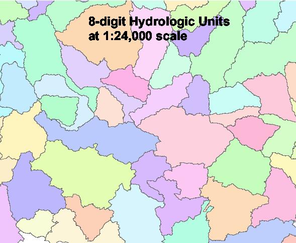
The Watershed Boundary Dataset (WBD) defines the areal extent of surface water drainage to a point, accounting for all land and surface areas. Watershed Boundaries are determined solely upon science-based hydrologic principles, not favoring any administrative boundaries or special projects, nor particular program or agency. The intent of defining Hydrologic Units (HU) for the Watershed Boundary Dataset is to establish a baseline drainage boundary framework, accounting for all land and surface areas. At a minimum, the WBD is being delineated and georeferenced to the USGS 1:24,000 scale topographic base map meeting National Map Accuracy Standards (NMAS). Hydrologic units are given a Hydrologic Unit Code (HUC). For example, a hydrologic region has a 2-digit HUC. A HUC describes where the unit is in the country and the level of the unit. The document "Federal Standards and Procedures for the National Watershed Boundary Dataset (WBD)" can be found here.
"A hydrologic unit is a drainage area delineated to nest in a multi-level, hierarchical drainage system. Its boundaries are defined by hydrographic and topographic criteria that delineate an area of land upstream from a specific point on a river, stream or similar surface waters. A hydrologic unit can accept surface water directly from upstream drainage areas, and indirectly from associated surface areas such as remnant, non-contributing, and diversions to form a drainage area with single or multiple outlet points. Hydrologic units are only synonymous with classic watersheds when their boundaries include all the source area contributing surface water to a single defined outlet point."
Please see https://nhd.usgs.gov/wbd.html for more information. For a data dictionary please click here.
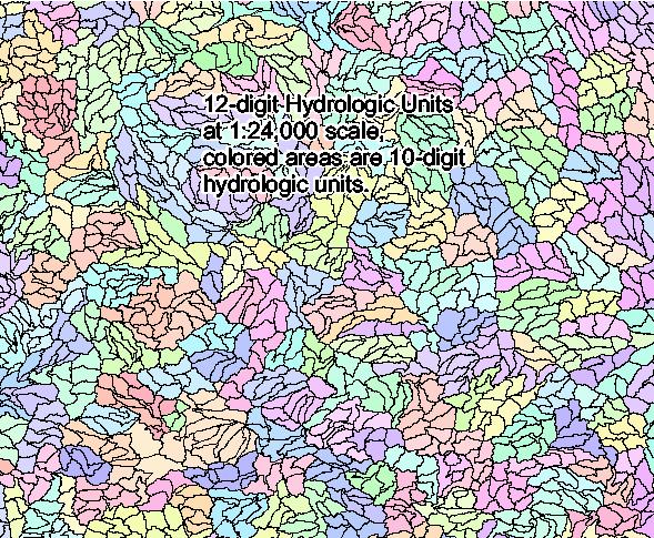
WBD HUC 8, 10, 12 polygons and WBD lines are available on the Gateway. Archives of HUC 2 through 12 as national layers can be downloaded from here in the WBD_Latest_Version folder. According to National Bulletin 340-13-07, NRCS users are required to use an annual version which is found in the WBD_Annual_NRCS_OfficialSnapshot_ForTheCurrentFiscalYear folder in the above site.
Pre-staged subregions and extracts by state can be downloaded from the USGS in the National Hydrography Dataset (NHD) site from here. HU14 and HU16 are a new classification and have not yet been populated around the country. WBD lines are a compendium of all HUC 2-12 polygon borders.
Format: ESRI Shape and File GeoDataBase
Spatial Reference Information: Decimal Degrees, North American Datum 1983