Title: TIGER 2020 Roads
Originator: U.S. Department of Commerce, U.S. Census Bureau, Geography Division
Abstract:
The TIGER/Line Files are shapes and related database files that are an extract of selected geographic and cartographic information from the U.S. Census Bureau's Master Address File/Topologically Integrated Geographic Encoding and Referencing (MAF/TIGER) Database (MTDB). The MTDB represents a seamless national file with no overlaps or gaps between parts, however, each TIGER/Line File is designed to stand alone as an independent data set, or they can be combined to cover the entire nation.
The data describes conditions through July 2020.
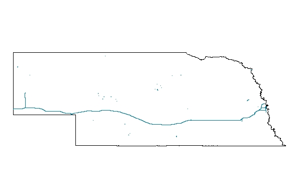
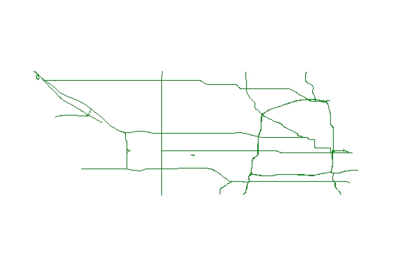
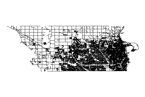
The TIGER roads data was gathered as reference information to conduct
the decenial census. TIGER Roads encompass three types of transportation layers:
-2020 Primary Roads
-2020 Primary and Secondary Roads
-2020 Streets
Format: vector lines – ESRI Shape File
Spatial Reference Information: Decimal Degrees, North American Datum 1983