Title: Quadrangle Map Indexes
Originator: USDA – Natural Resources Conservation Service
Abstract:
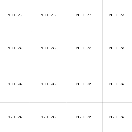
Map Indexes are a convenient cross reference between file and quadrangle names. When displayed in a Geographic Information System, such as ArcView or ArcMap, they relate a quadrangle to a particular geographic area. Individual quadrangles are identified in the attribute table by file and quadrangle names. See the drg_name.txt file provided with each download to gain an in-depth understanding of the relationship between file names and Map Index Numbers. Simplistically, the following show how DRG files are named.
CATEGORY + LAT/LONG OF SECONDARY CELL + MAP INDEX NUMBER
One Alpha Five Numeric One Alpha + One Numeric
(A) + (YYXXX) +(A) (N)
CATEGORY - One alpha character identifying the series, scale, and class of
the DRG.
r 7.5'x7.5’ 1:20,000 Topographic
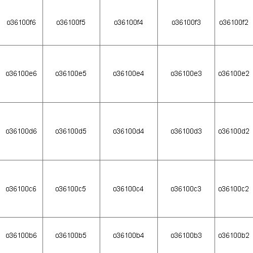
o 7.5'x7.5’ 1:24,000 Topographic
p 7.5'x7.5’ 1:24,000 Orthographic
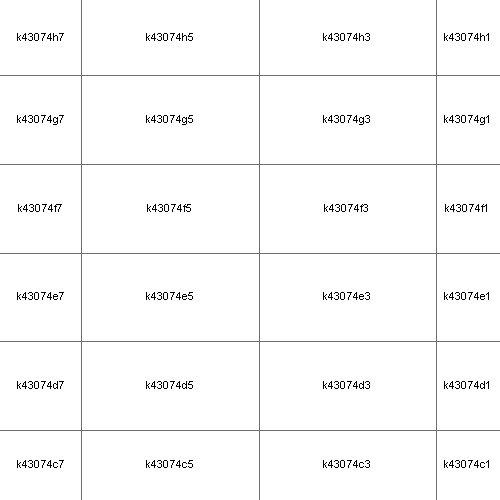
k 7.5'x15' 1:25,000 Topographic
l 7.5'x7.5' 1:25,000 Topographic
j 7.5'x7.5’ 1:30,000 Topographic
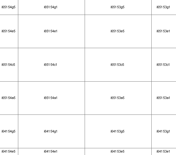
i 15'x15' 1:63,360 Topographic
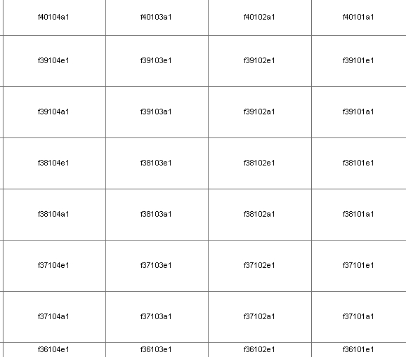
f 30'x60' 1:100,000 Topographic
g 30'x60' 1:100,000 Planimetric
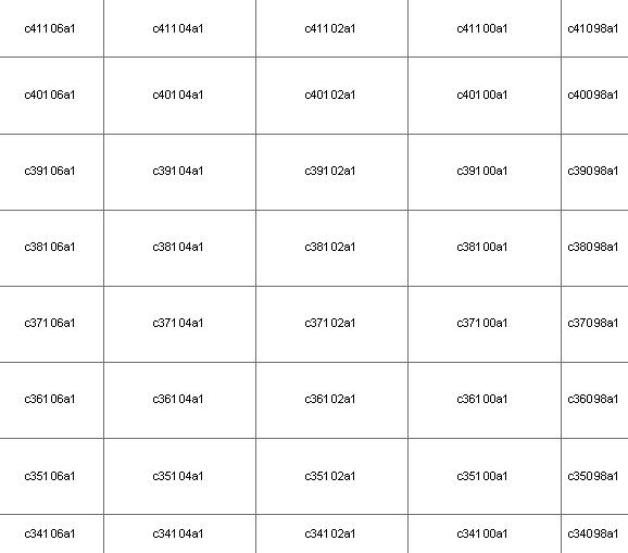
c 1x2 Degree 1:250,000 Topographic
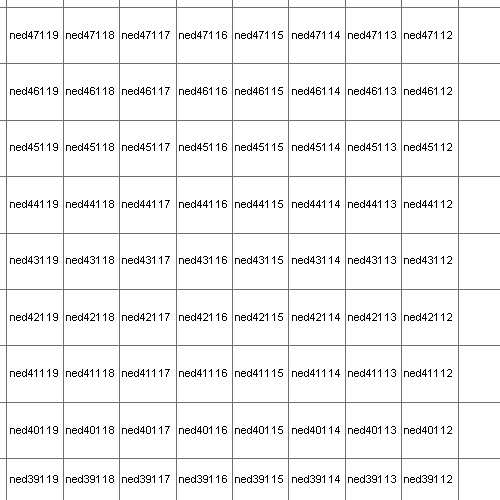
ned 1x1 Degree non-specific National Elevation Data
LAT/LONG OF SECONDARY CELL - Expressed in degrees of latitude (2 characters) and degrees of longitude (3 characters), defining the southeast corner (integer grid corner), of the secondary cell.
To maintain unique Data Set Names throughout this series, the longitude of secondary cells falling in the eastern hemisphere, west of 180-degrees, are incremented upward from 180. As an example, the southeast corner of a 1-degree secondary cell located at 52-degrees north latitude and 175-degrees east longitude (5 degrees west of 180) converts to the following five-character code describing the cell's location: 52185.
SECONDARY CELL - 1- by 1-degree cell (except Alaska) defined by integer latitude and longitude. Cells in Alaska vary in size, but are always identified by integer latitude and longitude.
MAP INDEX NUMBER - Two-character alphanumeric code locating the primary cell (quadrangle) within the secondary cell.
Example: o37091h7.tiff = Rolla, Missouri, 7.5-minute, 1:24,000-scale Topographic Quadrangle
Where:
o = 7.5-minute, 1:24,000-scale Topographic Quadrangle
37 = Degrees North Latitude
091 = Degrees West Longitude
h7 = Map Index Number
tif = Tagged Image File
Format
Format: vector lines – Arc shapefile
Spatial Reference Information: Decimal Degrees, North American Datum 1983
Sample 20,000 map Sample 24,000 map Sample
25,000 map Sample 63,360 map
Sample 100,000 map Sample
1 Degree map Sample 250,000 map