Title: Federal, State, Tribal, etc. Protected Area Land Ownership
Originator: US Geological Survey Gap Analysis Program
Abstract:
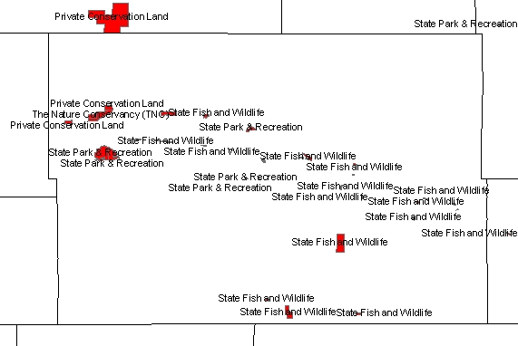
The Protected Areas Database of the United States (PAD-US) is a GIS database hosted by the USGS Gap Analysis Program (GAP) that illustrates and describes public land ownership, management and conservation lands nationally, including voluntarily provided privately protected areas. The lands included in PAD-US are assigned conservation status codes that both denote the level of biodiversity preservation and indicate other natural, recreational and cultural uses.
Version 4.0 of this data set was released by GAP April 25, 2024. Further information about the PADUS program can be found here, and here.
GAP compiled the Protected Areas Database of the United States (PAD-US) with significant contributions and large aggregated datasets from the Bureau of Land Management (National Operations Center), the U.S. Forest Service (Automated Lands Program), GreenInfo Network (California) and The Nature Conservancy (TNC – National and Eastern Regional offices). Many other federal, state, local, non-governmental organizations and land trusts provided highly valuable data that was more limited in scope.
While there has been significant progress inventorying federal, state, local and non-governmental holdings of open lands, improvements are still needed that will capture all protected areas and key data about them, and do so reliably, year after year - an ongoing Protected Areas Database of the United States (PAD-US).
Protected areas are defined as lands held in fee ownership for permanent or very long term open space uses. These include national parks and forests, public lands generally, wildlife preserves, state and local parks and reserves, lands held by non-profit organizations and many other areas. Eventually, the PAD-US Partnership will seek to incorporate marine protected areas, as well as lands that may only be secured for shorter time frames. The PAD-US does not generally include military or tribal lands unless they are secured for open space purposes.
Of particular interest in this
layer are the following land ownership classification codes:
01-Federal Land
02-Native American Land
03-State Land
04-Regional Agency Land
05-Local Government Land
06-Non-Governmental Organization Land
07-Private Land
08-Jointly Owned Land
09-Unknown Land Owner
10-Territorial Land
Federal land ownership is regarded as the best available. For Native American
Land, TIGER 2020 American Indian Lands is much more complete than this PADUS
layer because it also includes non-protected land.
Format: vector areas – ESRI shapefile
Spatial Reference Information: Decimal Degrees, North American Datum 1983