Title: USDA-NASS Cropland Data Layer
Originator: Department of Agriculture, National Agricultural Statistics Service (NASS), Research and Development Division, Geospatial Information Branch, Spatial Analysis Research Section (SARS)
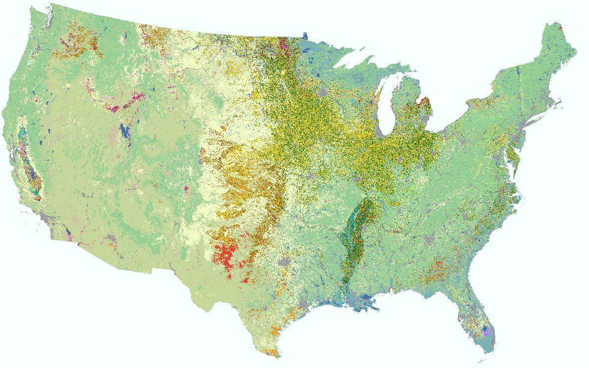
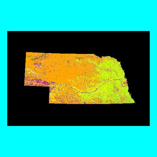
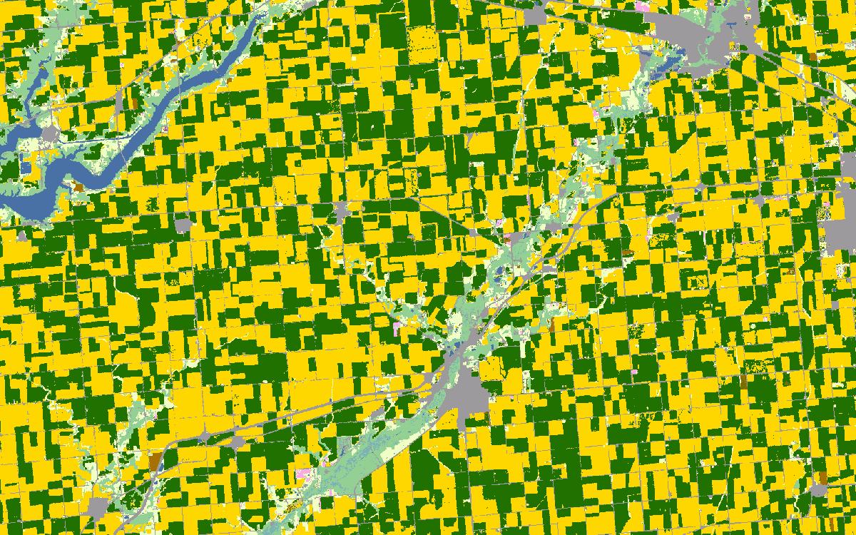
Abstract:The USDA-NASS Cropland Data Layer (CDL) is an annual raster, geo-referenced, crop-specific land cover data layer. The CDL Program began with one state in 1997 and expanded to cover the entire Continental United States in 2008.
The CDL has a ground resolution of 30 or 56 meters depending on the state and year. For metadata files with
detailed product and technical information or to download a national seamless Cropland Data Layer
(.img raster in Albers Conical Equal Area projection), please visit:
https://www.nass.usda.gov/Research_and_Science/Cropland/SARS1a.php
or the CropScape web portal at
https://nassgeodata.gmu.edu/CropScape.
The data layer is aggregated to a possible 85 standardized categories for display purposes, with the emphasis
being agricultural land cover. Most data layers average about 10 to 20 categories out of the 85 possible categories.
The purpose of the Cropland Data Layer Program is to use satellite imagery on an annual basis to (1) provide
supplemental acreage estimates for the state's major commodities and (2) produce digital, crop specific,
categorized geo-referenced output products.
This program represents a cooperative venture between three USDA Agencies (headquarters units of NASS,
the Foreign Agriculture Service, and the Farm Service Agency) plus in-state agreements among the Agricultural
Statistics Service, the Department of Natural Resources and the Department of Agriculture.
Maps are included for all available years when the product is ordered. However, previewing the metadata or image in
step two will only show the most recent year. All states do not have all years in the maps delivered from the
Gateway. Use 'Status Maps' to see a map with labels of the years that are available.
Format: Raster GeoTIFF files. A vector shapefile is also included for each state.
Spatial Reference Information:Universal Transverse Mercator (UTM), North
American Datum of 1983 or World Geodetic System 1984.