Title: USDA-NRCS-FPAC BC GEO Digital Raster Graphic County Mosaic
Originator: USDA – Natural Resources Conservation Service
Abstract:
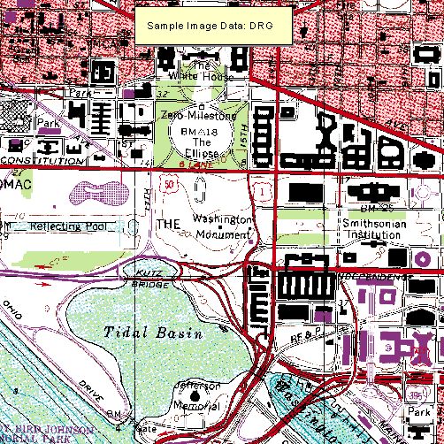
The Digital Raster Graphic (DRG) is a scanned image of a U.S. Geological Survey (USGS) standard series topographic map that includes all collar information (e.g., legend, scale bar, index map, etc.). The DRGE is a non-proprietary product of a USGS DRG in which the map collar information has been removed. The DRGE is useful as a source or background layer in a GIS, as a means to perform quality assurance on other digital products and as a source for the collection and revision of DLG data. The removal of the collar information allows the DRGE to be edge-matched and displayed simultaneously in a Geographic Information System.
These data used for the mosaic were prepared under a contact with Beartooth Mapping, Inc., for USDA Service Center personnel to administer agency programs.
Format: MrSID was used to mosaic and compress enhanced digital raster graphic quadrangles (EDRG’s) that cover a county. Each 8-bit pixel contains a color index from 0 through 12 referencing a color palette of RGB values from 0 through 255 in which the standard colors used in the DRGE are defined.
Spatial Reference Information: Universal Transverse Mercator, North American Datum 1983