Title: USDA-NRCS-FPAC BC GEO Digital Ortho
Originator:
Abstract:
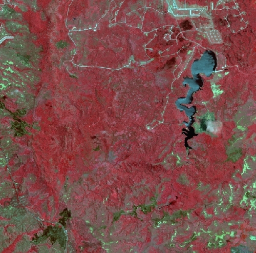
Digital color infrared (CIR) orthophotography in UTM, WGS 1984 Coordinates, U.S. Survey Feet. Digital orthophotography combines the image characteristics of a photograph with the geometric qualities of a map. Digital orthophotography is a process which converts aerial photography from an original photo negative to a digital product that has been positionally corrected for camera lens distortion, vertical displacement and variations in aircraft altitude and orientation. The ortho-rectification process achieved a +/-4.0 ft. horizontal accuracy at a 95% confidence level, National Standard for Spatial Data Accuracy (NSSDA). This dataset consists of 5000' x 5000' files in MrSID format with a 15:1 compresssion ratio. The files were produced utilizing MrSID Geospatial Edition 1.4 and are approximately 5 MB in size.
Digital orthoimages combine the image characteristics of a digital image with the geometric qualities of a map. The primary dynamic digital orthophoto quarter quadrangle (DigitalGlobe DOQQ) is a 60 centimeter ground resolution, quarter-quadrangle (3.75 minutes of latitude by 3.75 minutes of longitude) image cast to the customer specified projection and datum defined in the Spatial Reference Information section of this metadata document. The geographic extent of the DG DOQQ is equivalent to a quarter-quadrangle plus the overedge of 300 meters beyond the extremes of the primary corner points. The overedge is included to facilitate tonal matching for mosaicking and ensure full coverage if the imagery is reprojected. The normal orientation of data is by lines (rows) and samples (columns). Each line contains a series of pixels ordered from west to east with the order of the lines from north to south. The digital orthoimage is formatted as a GeoTIFF image file with a separate FGDC compliant metadata file.
Purpose:
These data have been created as a result of the need for having geospatial data immediately available and easily accessible in order to enhance the capability of Federal, State, and local emergency responders, as well as plan for homeland security efforts.
These data
are prepared for use by the Natural Resources Conservation Service for
Format: Raster - MrSID compression, with mosaic option.
Spatial Reference Information: Universal Transverse Mercator (UTM), WGS 1984.