Title: USDA-FSA-APFO Digital Ortho County Mosaic
Originator: USDA - Farm Service Agency - Aerial Photography Field Office
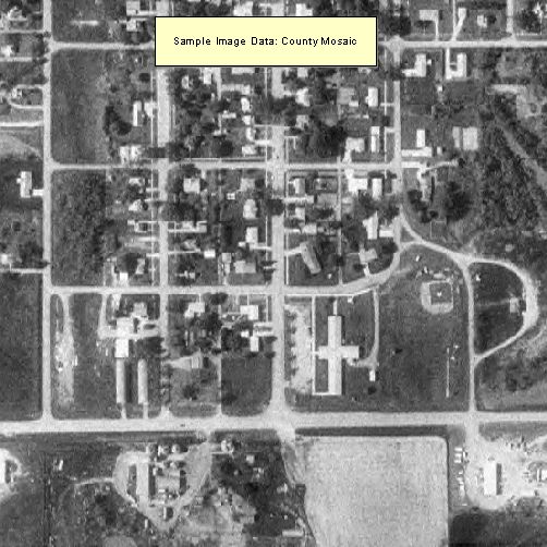
Abstract:
MDOQs are county mosaics of digital orthophoto quarter quads (DOQs) produced through the National Digital Ortho Photo Program (NDOP). The image characteristics of the orthophotos in this series follow that of the source DOQs. The ground sample distance is 1 meter in the x direction and 1 meter in the y direction, and the images are rectified to the UTM Coordinate System, NAD83.
Each image covers a 7.5-minute quadrangle with a 300 meter overedge between quads. The DOQs are mosaicked to remove visible seam lines due to characteristics of the source aerial photography. Mosaic cutlines are interactively defined within the DOQ image overedge by examining each DOQ pairwise with adjoining DOQs and placing the seam line where image tone differences and geometric misalignments are minimized. Due to the overedge between ortho quads, and depending on the placement of seam lines, each ortho quad can contain portions of as many as 16 DOQs. During the mosaicking process, the image tone of all input DOQs is adjusted towards a common value.
The DOQs are edge matched or seamed across county boundaries. In counties that are split by UTM zones, ortho quads are reprojected into the predominate zone. Ortho quads may be produced and distributed in an incomplete form when constituent DOQs are not available at production date.
Format: Raster - MrSID compression, with mosaic option, was used on enhanced digital orthophoto quadrangles. Default values for the compression ratio are (20:1) and compression levels (10) are used. 8-bit pixels represent brightness values 0 - 255
Spatial Reference Information: Universal Transverse Mercator, North American Datum of 1983