Title: NRCS Conservation Easements
Originator: USDA Natural Resources Conservation Service
Abstract:
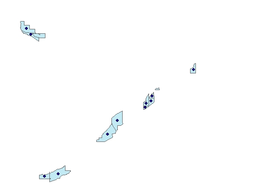
The national easement geospatial dataset is an aggregate layer of conservation easements received from each state, used to identify, monitor, and enhance the spatial accuracy of restoration program polygons. The dataset is a national layer of conservation easement polygons (or centroids derived from the polygons) that represents where a voluntary, legally binding agreement between landowners and the USDA is located. This agreement limits certain types of uses or prevents development from taking place on a piece of property now and in the future, for the stated purpose of protecting the property's ecological or open-space agricultural values. However, these spatial easement boundaries are not an exact representation of the legal easement boundary and should not be used for any purposes beyond general planning.
Collecting the easement geospatial data is required as part of the easement monitoring and management responsibilities to protect the Federal investment. As a responsible Federal agency, NRCS must be able to identify where the Federal interest is located and ensure easement compliance. The national database is updated monthly.
These data are prepared for use by the Natural Resources Conservation Service for USDA Service Center personnel to administer agency programs. Contract numbers and any Personally Identifiable Information (PII) are removed when serving these maps to the public.
For all new easements, the source should be a legal survey or precision GPS. Legal survey includes coordinate geometry (COGO). Older easements were frequently digitized from Digital Orthophotography Quarter Quads (DOQQ) (1:12,000) or NAIP Imagery (1:24,000). For other programs, data capture can be from 1:2,400 to 1:12,000. No overlaps of easement polygons are allowed, enforced by topology rule.
Easement boundary areas and easement point layers are available. The point centroid layer is generated by feature to point from the easement polygons. The location of the resulting point is the average of the input multipoint's x&y values. This centroid becomes the pivotal point for imagery association.
Please visit: Natural Resources Conservation Service at https://www.nrcs.usda.gov/wps/portal/nrcs/main/national/programs/easements for more information.
Format: vector areas and points – ESRI File GeoDataBase
Spatial Reference Information: Decimal Degrees, North American Datum 1983